
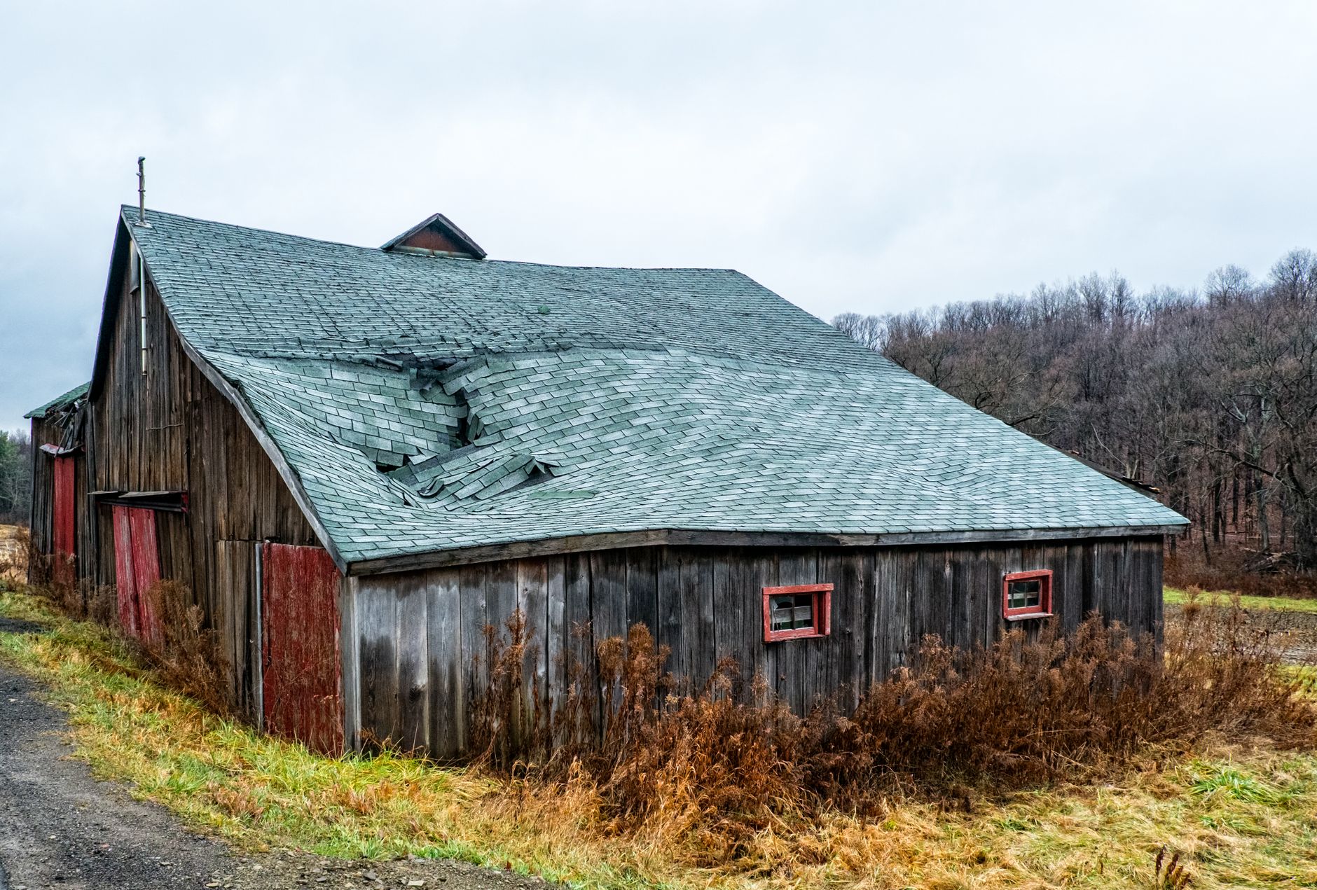
Northeast Ohio sits at an intersection of weather patterns — Midwest severe thunderstorm activity, Lake Erie’s moderating and sometimes intensifying influence, and occasional fast-moving straight-line wind events capable of real structural damage. Understanding the actual mechanics of how these systems damage roofs explains a lot about why damage shows up where it does.
Wind Uplift: The Basic Mechanic
Wind doesn’t just push against a roof — as it flows over and around a building, it creates areas of lower pressure above certain sections of the roof, particularly at ridges, edges, and corners. This pressure differential creates an uplift force trying to pull shingles or panels away from the deck. It’s the same basic aerodynamic principle that generates lift on an airplane wing, just working against the roof instead of for a wing. This is why wind damage concentrates at these specific zones rather than spreading evenly across a roof’s open field.
Straight-Line Wind Events
Most of our region’s wind damage comes from straight-line winds associated with thunderstorm outflow — fast-moving gusts that can exceed 50-60 mph in a strong event, more than enough to lift improperly fastened or aging shingles. These events are usually brief but can be intense, and their damage pattern often reflects a specific wind direction rather than affecting a roof uniformly.
Derecho-Style Events
Less common but more severe, fast-moving, widespread straight-line wind events (sometimes reaching derecho intensity) can produce significant damage across a broad area in a short window. These events are worth understanding because their damage can be more extensive and less localized than a typical summer thunderstorm gust.
Lake Erie’s Amplifying Effect
Communities directly along the Lake Erie shoreline — Lakewood, Euclid, Bay Village, Eastlake — experience notably higher sustained wind exposure than inland suburbs, both from direct funnel effects along the open shoreline and from the lake’s broader influence on regional storm tracks. This is a big part of why we specify enhanced wind-rated fastening more consistently for lakefront properties.
Damage That Isn’t Immediately Visible
Wind doesn’t always tear a shingle completely off to cause damage. A gust can lift a shingle briefly, breaking its factory-applied adhesive seal strip without fully detaching or displacing it. The shingle may look fine from the ground afterward but remains more vulnerable to full lifting in the next wind event, since its seal is compromised. This is one reason we recommend a post-storm inspection rather than assuming a lack of obvious missing shingles means no damage occurred.
Why Understanding This Helps
Recognizing that wind damage follows predictable patterns — concentrating at ridges and edges, worse near the lakefront, sometimes invisible until the next storm — means an inspection after a significant wind event can check the right areas specifically, rather than a generic scan that might miss exactly the kind of damage most likely to be present.
Frequently Asked Questions
Why does wind damage often show up along the ridge or roof edges specifically?
How strong does wind need to be to actually damage a roof?
Are derecho-style storms common in Northeast Ohio?
Does lake-effect weather create different wind patterns than inland storms?
Can wind damage a roof without any visible missing shingles?
Related Services
Related Reading
Ready for a Roof That Lasts Through Cleveland Winters?
Get a free, no-pressure inspection and written estimate from a local crew.